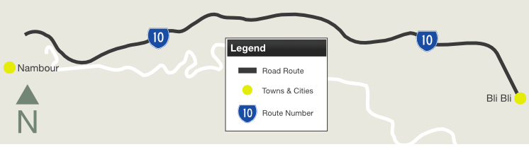
| Nambour-Bli Bli Road (State Route 10) |
Statistics:
Route Numbering:
General Information:
State Route 10 on Queensland's Sunshine Coast is a short semi-rural route connecting Nambour and the Bruce Hwy (M1) with the Maroochydore area.
The route is undivided for most of its length.
| Preview: | Description: |
 |
Intersection
Directional Sign: ID sign at the interchange with Bli Bli Rd (TD23) and Bruce Hwy (M1) at Bli Bli, May 2018. Image © Rob Tilley |
 |
Distance Sign: Eastbound reassurance directional sign near the Bruce Hwy (M1) interchange and Cooney Rd at Bli Bli, January 2009. Image © Rob Tilley |
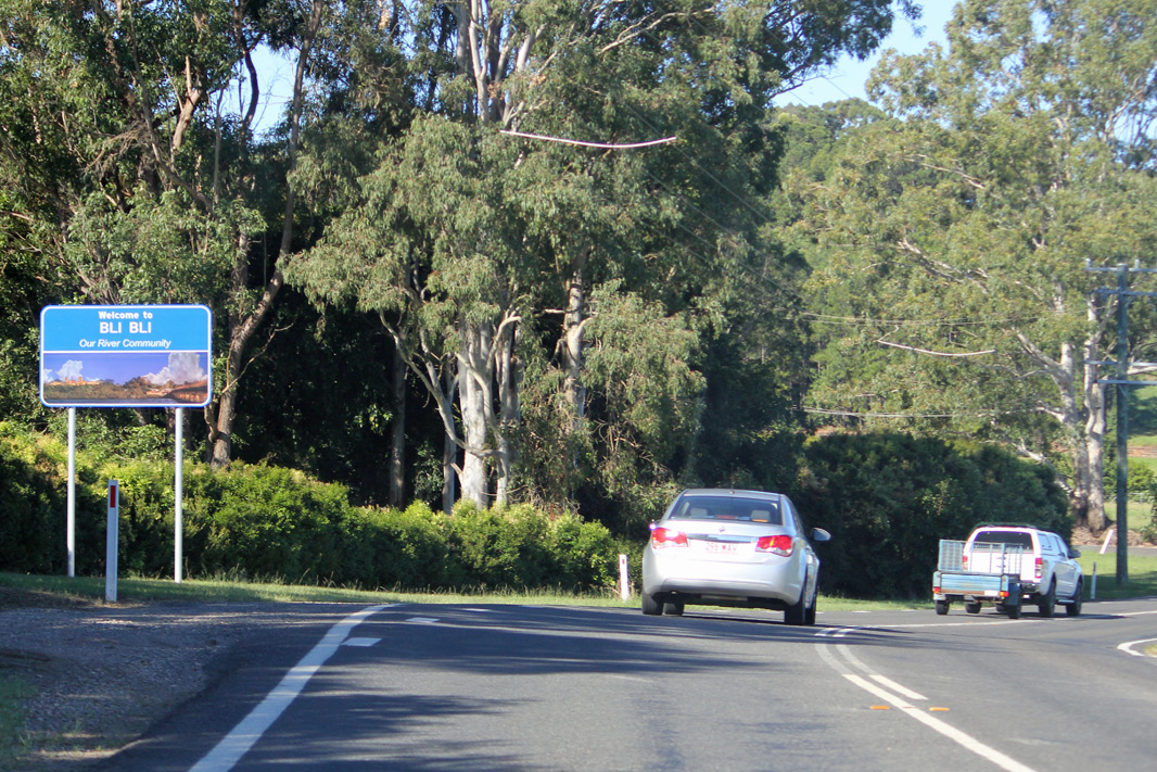 |
Entering Bli
Bli: Nambour-Bli Bli Rd (SR10) as it enters the town of Bli Bli, May 2018. Image © Rob Tilley |
 |
Advance
Directional Sign: AD sign approaching Willis Rd at Bli Bli, May 2018. Image © Rob Tilley |
1 Transport & Main Roads, Queensland state-controlled roads and region maps, North Coast Region: front
Last updated: 11 Oct 2019 19:18
This site © Paul Rands. All rights reserved. Some portions © (copyright) by their respective and credited owners. Permission must be obtained before using any images from this site. For details, please email by clicking here.