|
|
|
|
|
 |
South Pine Road, Albany Creek Road, Robinson Road West, Railway Parade and Robinson Road East (State Route 28) |
Statistics:
Route Numbering:
General Information:
State Route 28 is a urban route in Brisbane's northern suburbs. It's a mix of single and dual carriageway road that passes through residential, commercial and industrial zones.
The route is an arterial road linking well established suburbs with newer ones as well as major roads including Gympie Road (A3).
History:

| Virginia to Strathpine | Strathpine to Virginia | |||
| Preview: | Description: | Preview: | Description: | |
 |
Gayford Street
& Maundrell Terrace: Gayford St in Aspley approaching Maundrell Tce and Robinson Rd (SR28) at Aspley, July 2011. Image © Rob Tilley |
 |
Black Distance
Sign: Old black RD sign at Strathpine on Strathpine Rd (SR28), July 2011. Image © Rob Tilley |
|
 |
Gayford Street
& Maundrell Terrace: Robinson Rd (SR28) at the junction with Gayford St and Maundrell Tce at Aspley, July 2011. Image © Rob Tilley |
 |
Black
Advance Directional Sign: Black AD sign at Brendale approaching Eatons Crossing Rd, June 2011. Image © Rob Tilley |
|
 |
Distance Sign: RD sign on Albany Ck Rd (SR28) at Aspley, July 2011. Image © Rob Tilley |
 |
Black
Distance Sign: Black reassurance directional sign with distances to .5 of a kilometre, that managed to survive an intersection upgrade at Brendale near Bunya Park Dr, June 2011. Image © Rob Tilley |
|
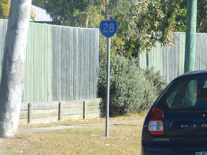 |
Trailblazer
: SR28 trailblazer at Bridgeman Downs, July 2011. Image © Rob Tilley |
|||
 |
Advance Directional
Sign : AD sign on Albany Ck Rd (SR28) approaching Bridgeman Rd and Beckett Rd (SR40) at Bridgeman Downs, July 2011. Note the missing SR40 shield for Bridgeman Rd. Image © Rob Tilley |
|||
 |
Distance Sign: RD sign on South Pine Rd (SR28) after the Eatons Crossing Rd junction in Eatons Hill, January 2011. Date of manufacture on the rear of the sign is 1987. Image © Brad Torr |
|||
 |
End
SR28 Trailblazer: End State Route 28 trailblazer at Strathpine approaching Gympie Rd (SR58), June 2011. Image © Rob Tilley |
|||
 |
Black
Advance Directional Sign: Black AD sign at Strathpine approaching Gympie Rd (SR58), June 2011. Image © Rob Tilley |
|||
1 Queensland Transport & Main Roads, Albany Creek Road and Keong Road intersection, Albany Creek: Safety improvements works
Last updated: 17-Dec-2019 0:55
This site © Paul Rands. All rights reserved. Some portions © (copyright) by their respective and credited owners. Permission must be obtained before using any images from this site. For details, please email by clicking here.